Rocky Mountain National Park, Colorado
Loch Vale Watershed Research
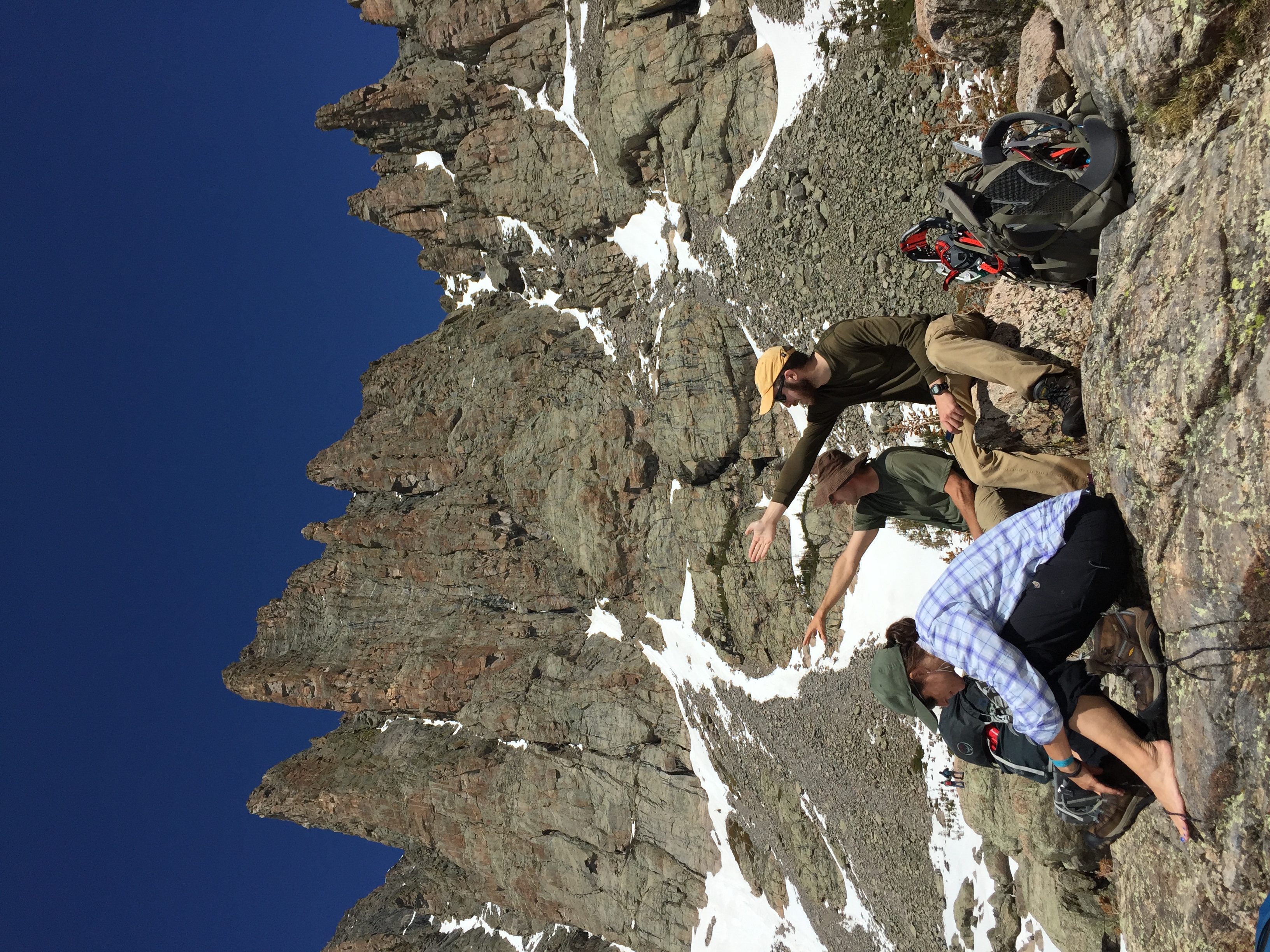
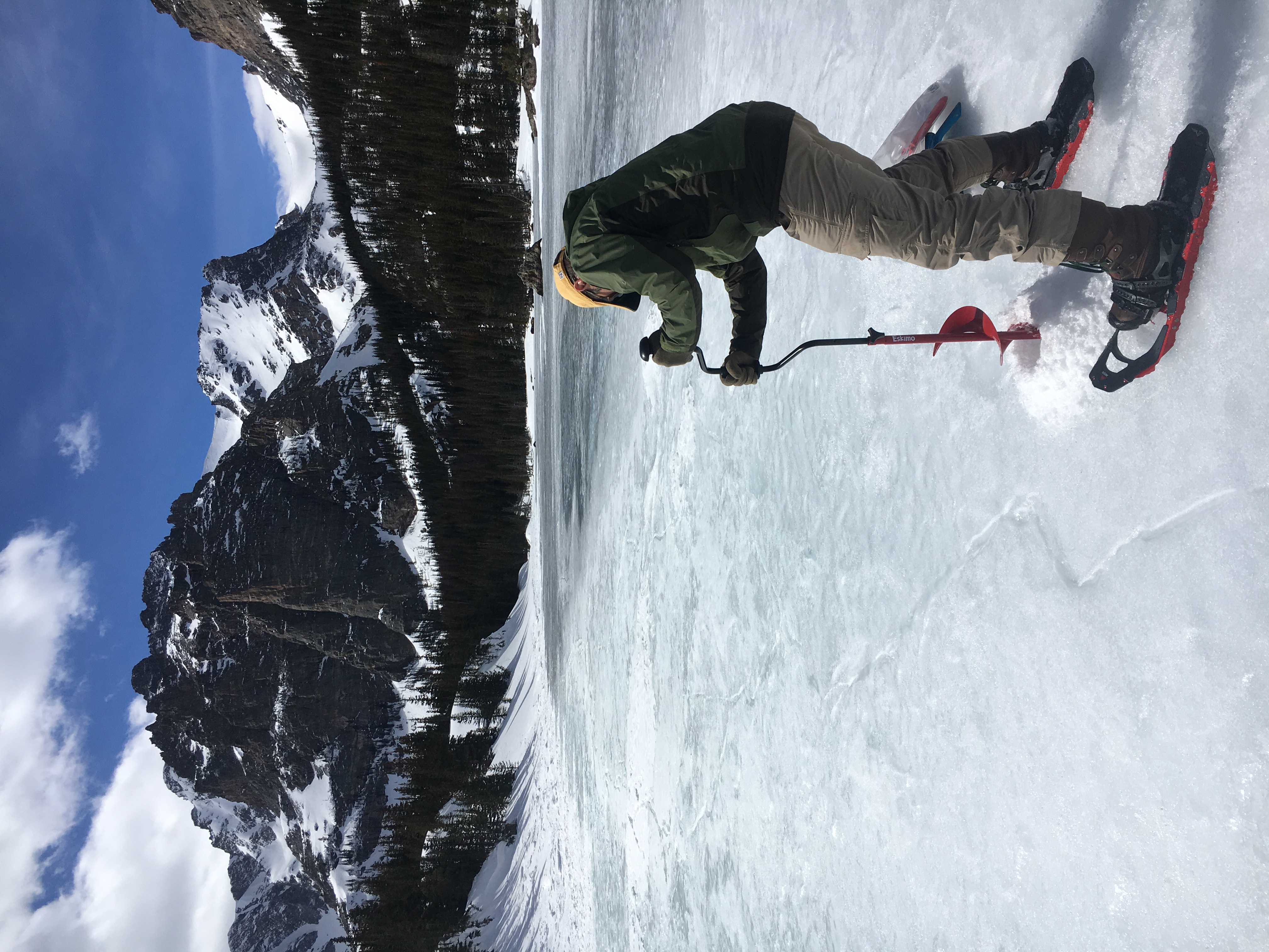
Since 1982, scientists have measured climate, water, snow, and lake chemistry in this high-elevation watershed.



About the program
What researchers track
Climate and snow
Snowpack, temperature, and seasonal timing shape streamflow and lake conditions.
Air pollution
Rain, snow, and dust carry sulfur and nitrogen into the watershed.
Water chemistry
Streams and lakes show how the watershed responds to changing inputs.
Lake life
Nutrients, temperature, and ice cover influence algae, microbes, and other aquatic organisms.
The place
A small watershed with a long record
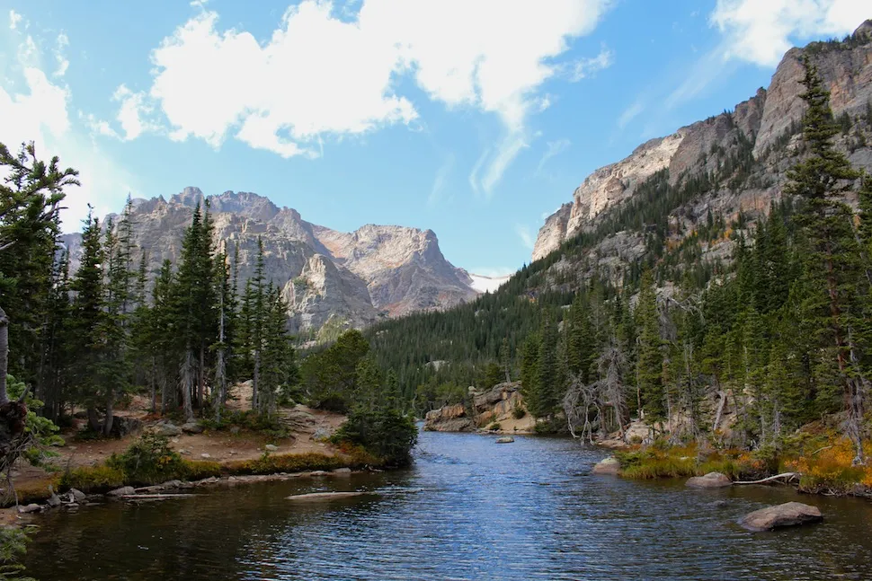
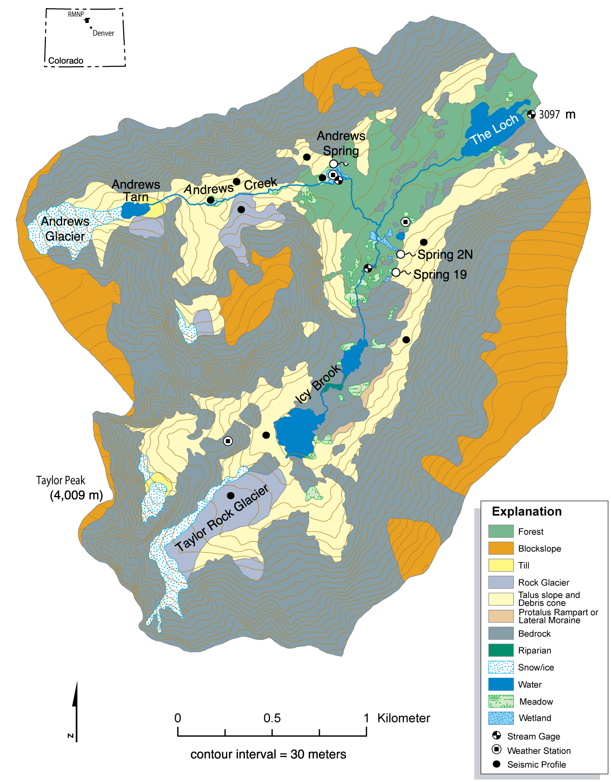
Loch Vale lies east of the Continental Divide. Andrews Creek drains the north side; Icy Brook drains the south.
- 83%
- Rock, boulders, snow, and ice
- 11%
- Alpine tundra
- 5%
- Subalpine forest
- 1%
- Meadow